Computer processing of planning documentation and geodetic survey of excavation sites


.")

CAD
Since 1998 drawing documentation has been processed electronically in the environment of SW Microstation 95, which among others enables also the attachment of recorded situations to the geodetic network JTSK and the cut-out of a parcel map (e. g. of Brno). Field plans from excavations are digitalised with the help of an A3 tablet and further adjusted in SW Microstation 95 from the company Bentley. In comparison to the past we concentrate more on creating some interpreted plans of overall situations drawn together with surrounding building coverage. Within the framework of our company an instructive graphic output is laid on the same level as a written output. That emerges from the fact that most scientific and technical branches concerned with similar problems, e. g. documenting of buildings, construction details, urbanism etc., has similar demands on planning documentation.
Photogrametry
At the workplace Archaia Brno we apply since about 2000 the so-called single-image photogrametry. The principle of this method consists in making at least one image of a planar object, on which four tie points are regularly placed. After these points are vectorised in a CAD program, in our case Microstation 95, the appropriate photo is introduced as a raster image and rectified by means of the tie points, on the basis of affinity transformation. From the photo rectified in this manner a relevant scheme of the photographed object is drawn down. In the company Archaia Brno the single-image photogrametry is applied above all at documenting the historical buildings and constructions.
3D modelling
With regard to its difficulty the 3D modelling of uncovered archaeological situations, mainly cellar rooms and other constructions, is rather a fringe concern of our company. The so far realised projects have been processed in the CAD environment of Microstation 95. It was always the matter of processing of a digital geodetic survey performed in terrain.
Geodesy
All larger actions of the company Archaia Brno are from the beginning geodetically surveyed in terrain by means of a total station used by the subcontractor company. Since 2005 our company disposes of its own device, and performes the measuring by itself. It is mostly the geodetic survey of an investigated area (e. g. a trench), square grid, or particular uncovered constructions, for example masonry. Further processing and utilization of the geodetic survey runs in the CAD environment of Microstation 95..
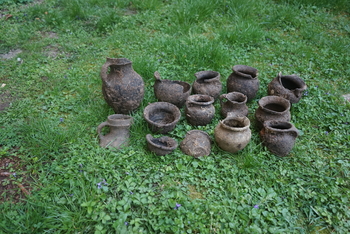
První jarní úroda
21. 03. 2024 – Lenka Sedláčková – zobrazit
Tak nám včera začalo jaro a první letošní úroda celých nádob na
sebe nenechala dlouho čekat…
Lokalita: Brno, ražba kanalizace na ulici Leitnerova, dvě
odpadní jímky z období 14...